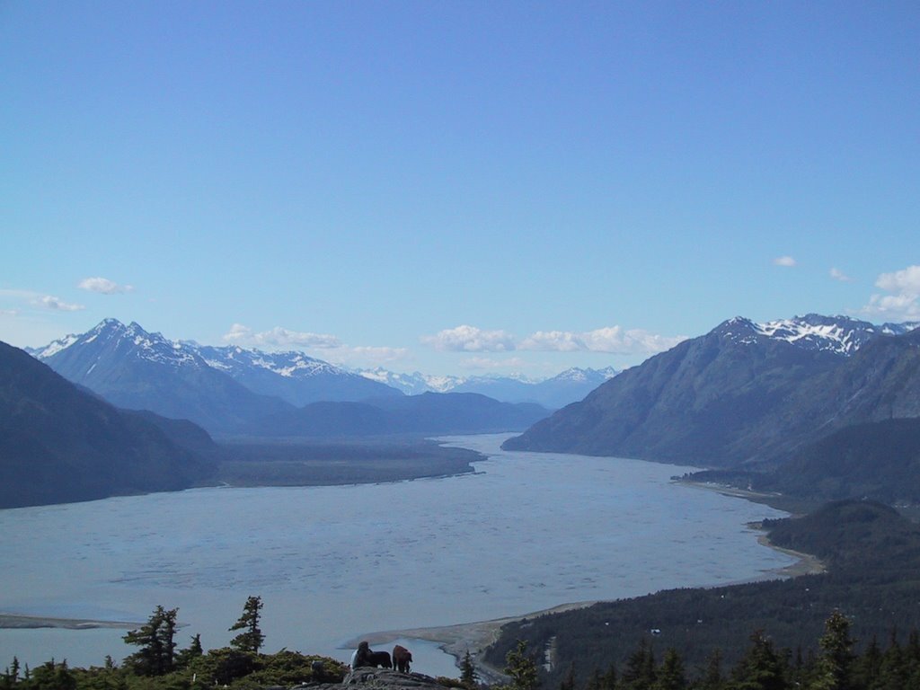
Haines, Chilkat Valley, and the Lynn Canal
About: Full-color 3d model of Haines, Alaska, the Chilkat Peninsula, the upper Lynn Canal, and the outlying area. You can see Davidson Glacier and Rainbow Glacier on the left side, and the Katzehin River and delta on the right side. Towards the top, you can see Chilkoot Lake, Lutak Inlet, Taiyasanka Harbor, and Taiya Inlet, leading up to Skagway. Finally, if you get down low on the model, you get the same perspective you might see while taking a flight up the valley.
Details from Wikipedia: Haines is a census-designated place located in Haines Borough, Alaska, United States. It is in the northern part of the Alaska Panhandle, near Glacier Bay National Park and Preserve. The original Native name for Haines was Deishu, meaning "end of the trail" by the Chilkat group of Tlingit. It received this name because they could portage (carry) their canoes from the trail they used to trade with the interior, which began at the outlet of the Chilkat River, to Dtehshuh and save 20 miles of rowing around the Chilkat Peninsula.


